Services

Boundary Surveying Solutions
We specialize in determining property boundaries, resolving boundary disputes, and preparing boundary surveys in compliance with local regulations and standards.

Construction Staking:
Our construction staking services ensure precise placement of structures, utilities, roads, and other elements during the construction phase, facilitating smooth and accurate project execution.
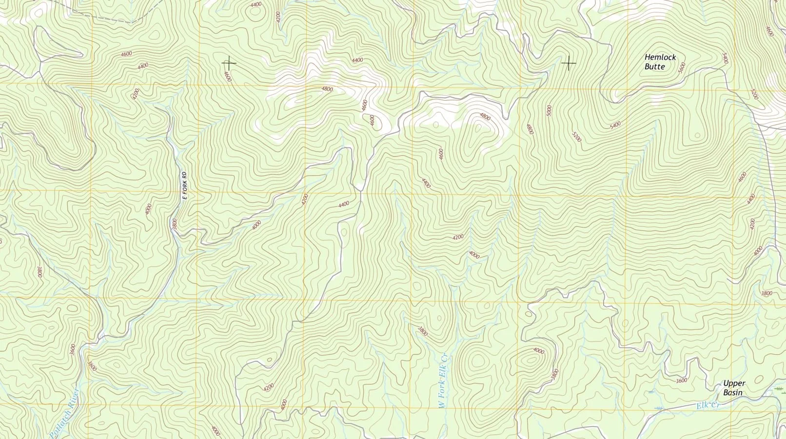
Topographic Surveying Solutions
Our topographic surveys provide detailed information about the natural and man-made features of a property, including elevation, contours, vegetation, and structures, essential for site planning and development.

Land Development Planning
We offer expert consulting services to guide clients through the land development process, addressing regulatory requirements, environmental concerns, and site-specific challenges.

FEMA Elevation Certificates
Our FEMA elevation certificates help property owners assess flood risk and determine insurance premiums by accurately documenting the elevation of structures relative to the Base Flood Elevation (BFE).

ALTA/NSPS Surveys
We conduct ALTA/NSPS surveys adhering to the highest industry standards, providing comprehensive data required for commercial real estate transactions and title insurance purposes.

Subdivision Planning:
We assist property developers and landowners in the subdivision planning process, from initial feasibility studies and conceptual design to platting and regulatory approvals.

Machine Control Services:
We provide Machine Control models for construction and excavation companies to optimize their machinery operations using advanced GPS technology. By integrating GPS receivers and control systems into heavy equipment such as bulldozers, graders, excavators, and pavers.